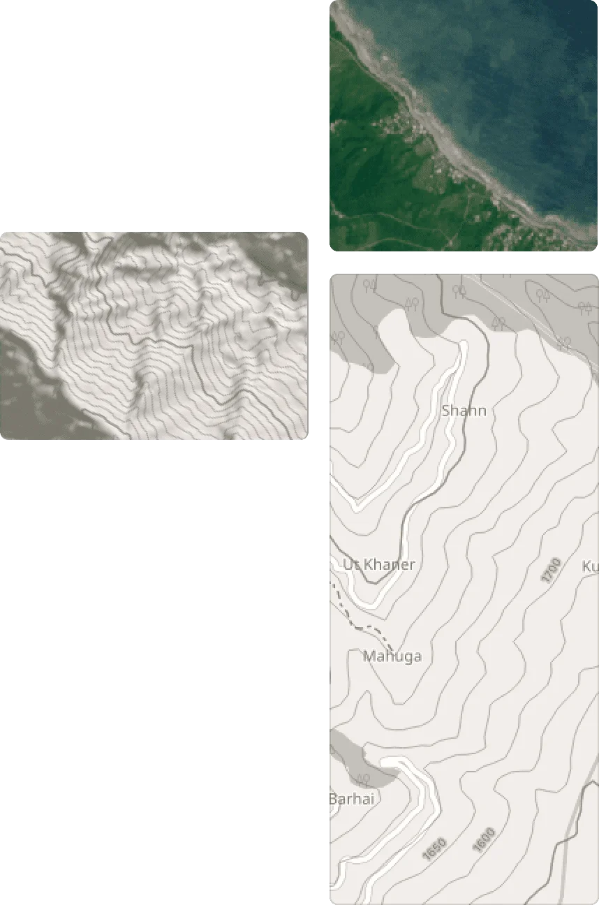
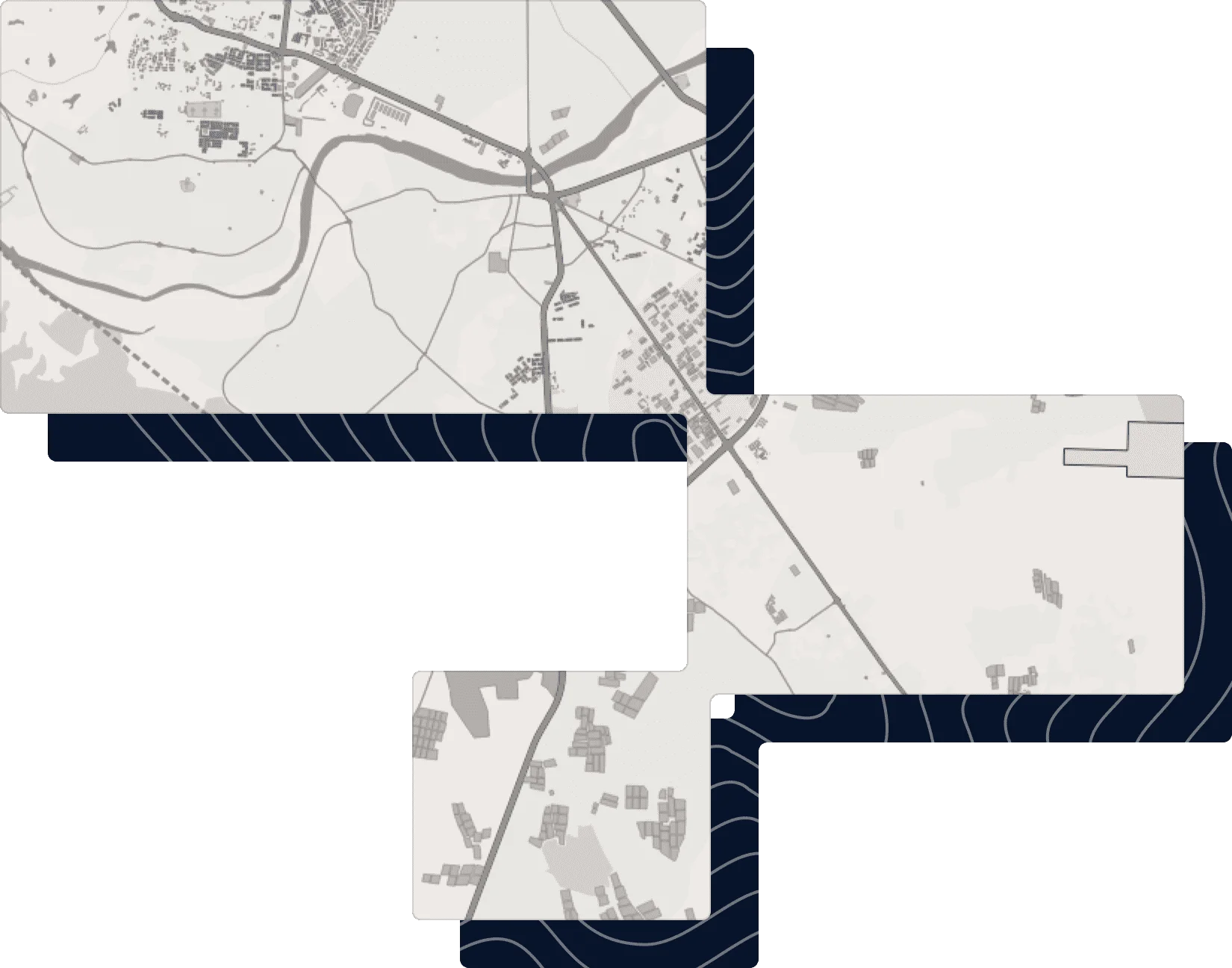



Ready-to-go datasets for your GIS projects
Choose your region and get 100% GIS-ready data project with customized styles, icons and separate layers. Use them easily in QGIS, ArcGIS and other apps.
ArcGISQGISMapInfoPostGISExcelGeoPackageShapeGeoJSONCSVSQL