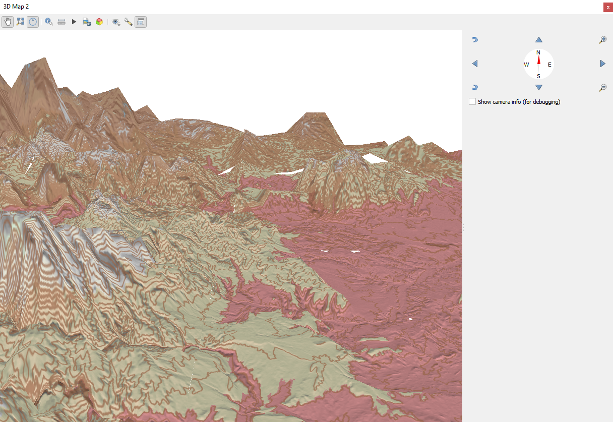
How to load elevation data into QGIS 3D window
Order elevation data for your area of interest, e.g. in GeoPackage (QGSIS) and GeoTIFF format choosing the step of contour lines.
Go to the orders page and download the archive when it’s complete.
Unpack the archive.
Download and install QGIS.
Launch QGIS.
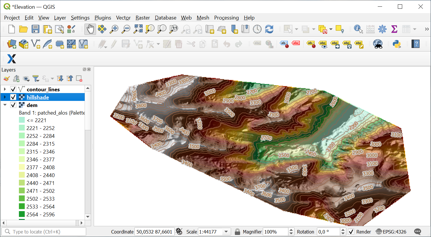
Drag and drop hillshade.tif, dem.tif and contour_lines.gpkg from the unpacked data folder to QGIS interface.
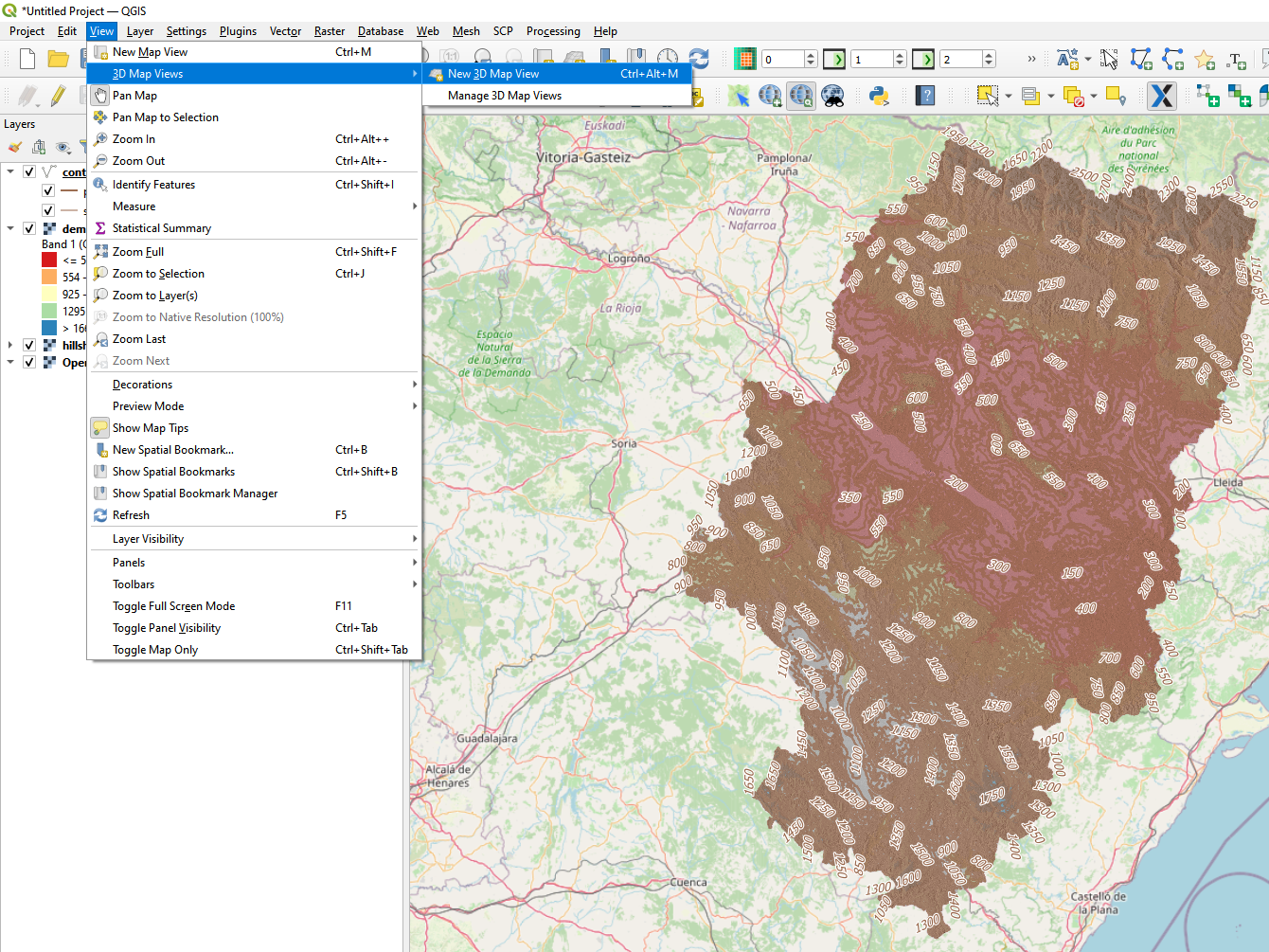
On the top bar click View -> 3D Map Views -> New 3D Map View
In 3D Configuration: set the parameters for the Terrain - select a DEM (Raster Layer), specify the raster layer dem, select other parameters depending on your data

Click OK. The 3D terrain data model will appear in the window