How to change coordinate reference system of the data
Order data for your area of interest, e.g. in GeoJSON (QGIS) format.
Go to the orders page and download the archive when it’s complete.
Unpack the archive.
Import the target layer, which coordinate reference system you’d like to change, in QGIS.
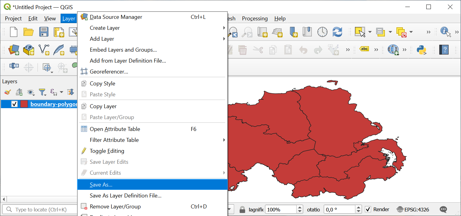
In the Layer menu, select “Save as…”. Thus you’ll create a copy of the layer, but in desired coordinate reference system.
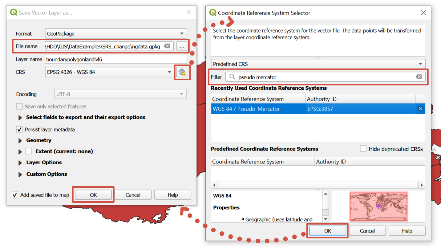
In pop-up window set a name and a path to a new file. To select its coordinate reference system press “Select CRS” button. One more pop-up window will appear; type either key words or EPSG code into “Filter” field, it is the easiest way to select desired coordinate reference system. Press “OK” in both windows.
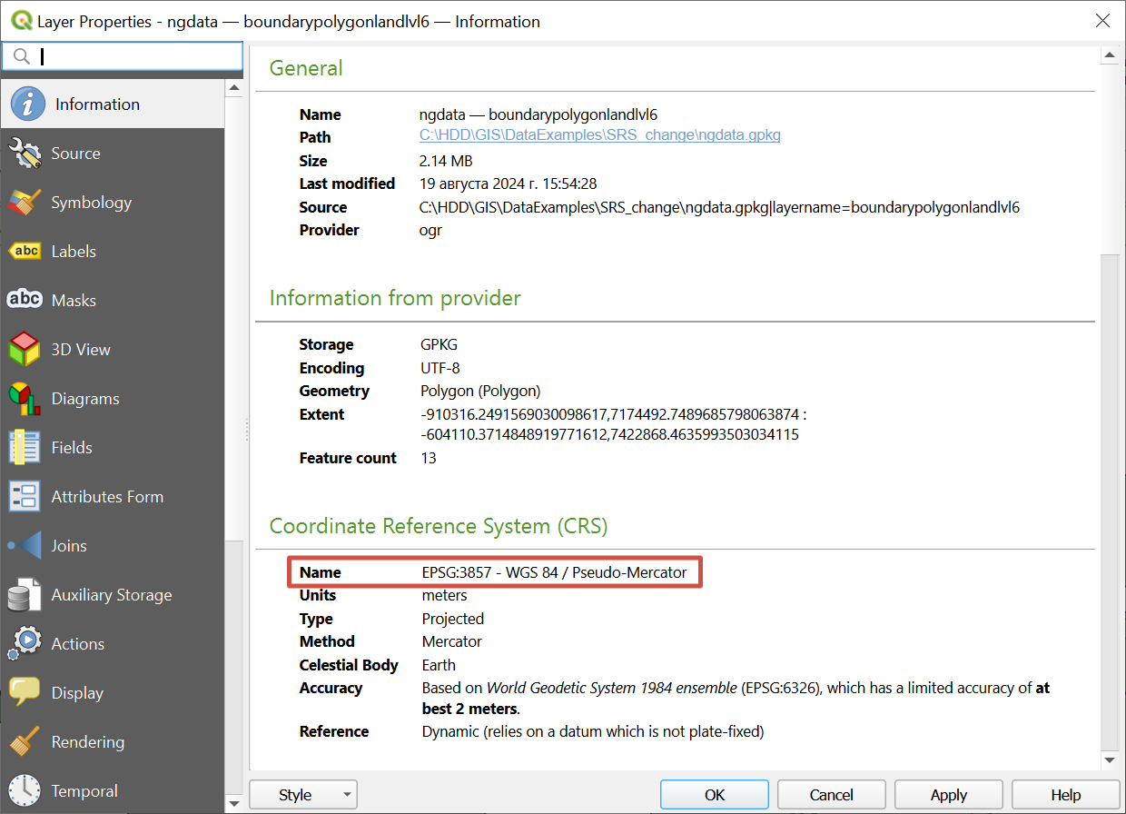
New layer in desired coordinate reference system is created and added to the project. Check of coordinate reference system is available via layer’s properties.