How to open satellite data in QGIS
Order satellite data for your area of interest in GeoTIFF format.
Go to the orders page and download the archive when it’s complete.
Unpack the archive.
Download and install QGIS.
Launch QGIS.
Drag and drop the upacked tif file from the folder to QGIS interface.
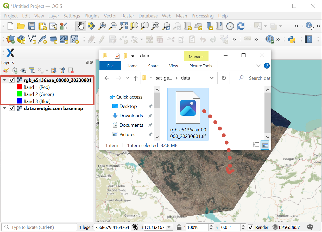
Pic. 14 Adding satellite data to QGIS
If you need to finetune the new layer, you can add it via menu: Layer ‣ Add Layer ‣ Add Raster Layer.