How to import data into AutoCAD
Order data for your area of interest, e.g. in GeoJSON format.
Go to the orders page and download the archive when it’s complete.
Unpack the archive.
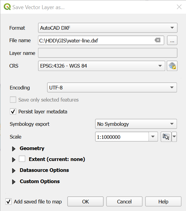
Convert target layer or layers into DXF format. You can use QGIS to save th file as DXF. From the top menu open Layer –> Save as, then select AutoCAD DXF.
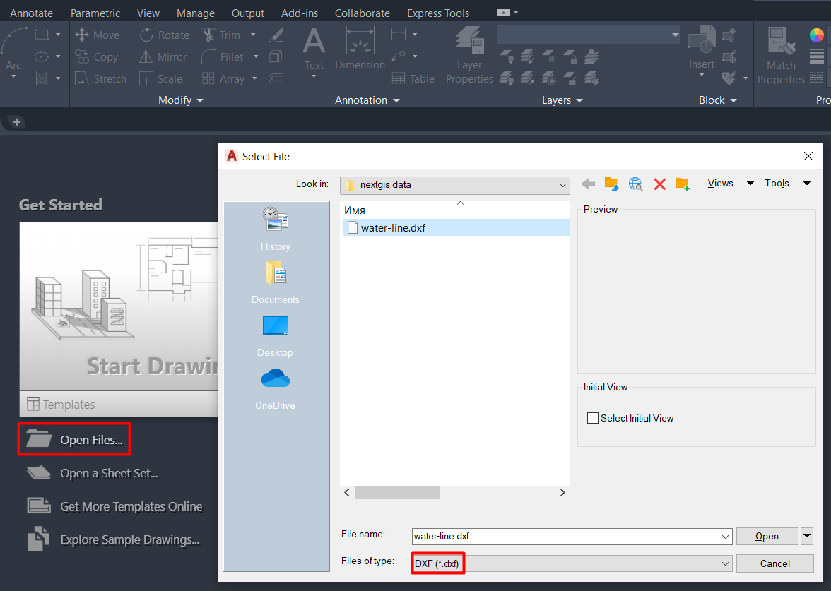
Launch AutoCAD, press “Open files” and choose layer in DXF format.
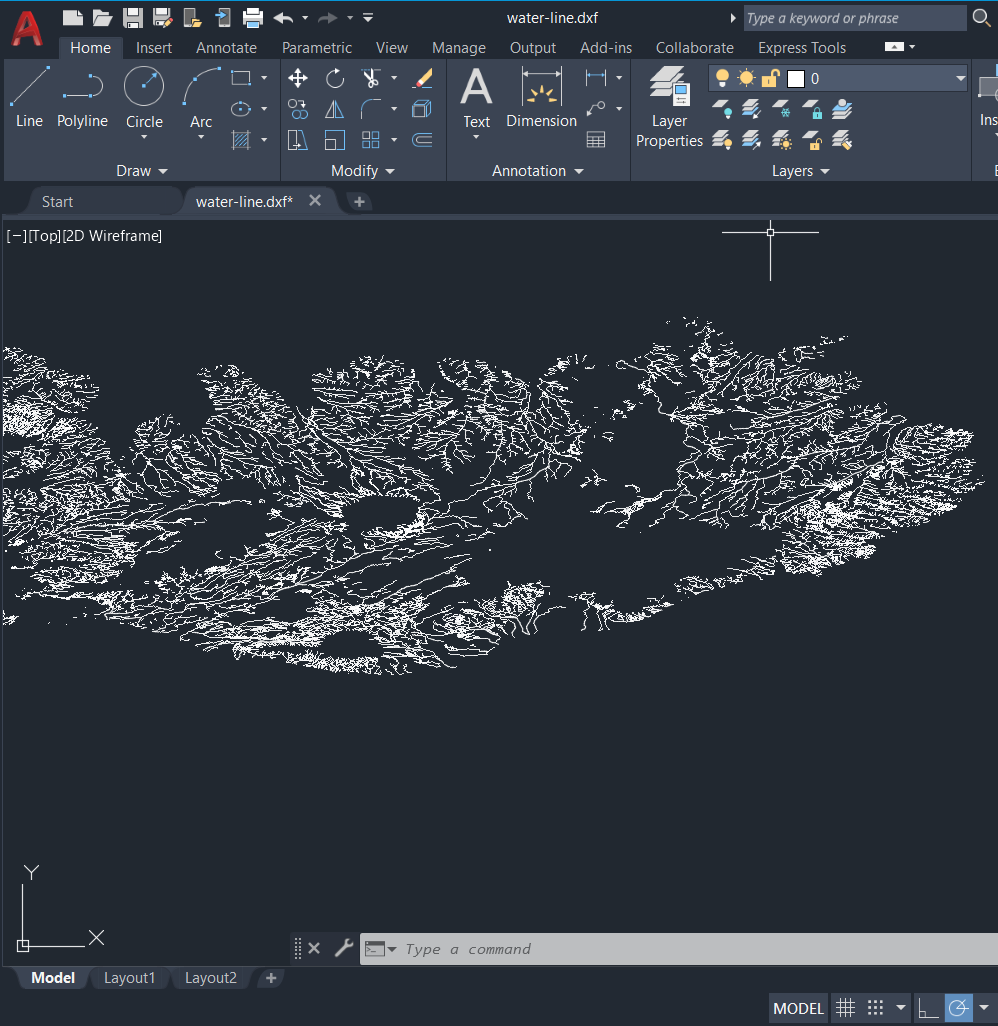
Layer is imported into AutoCAD working environment.